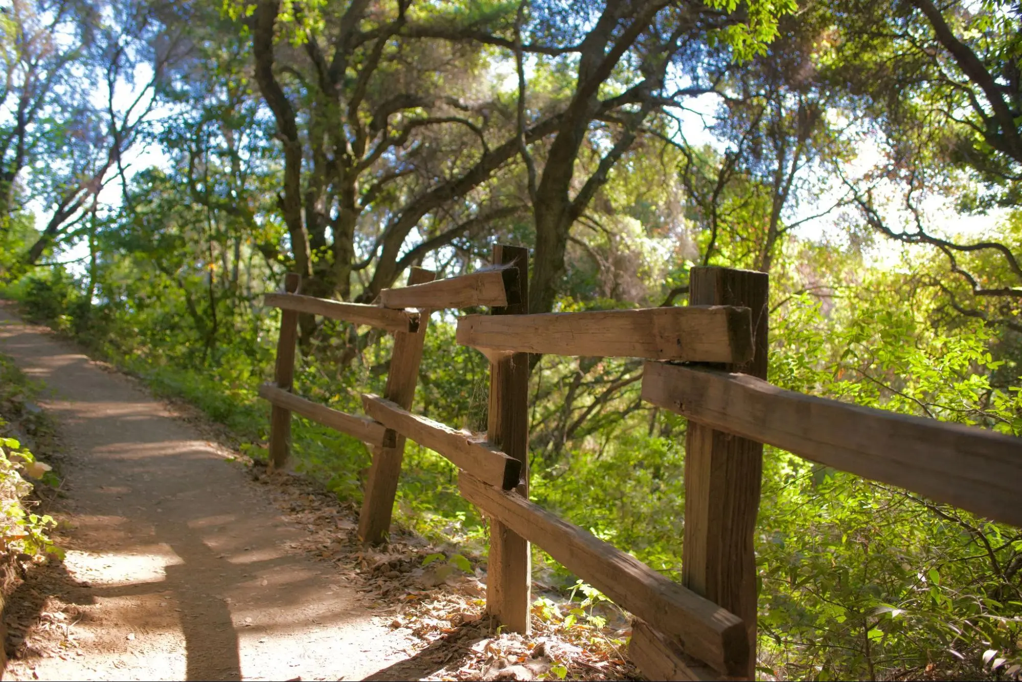
The Bay Area boasts a variety of trails that are sure to satisfy seasoned hikers and beginners alike. Ranging from Portola Valley to Woodside, here are five hikes near Stanford that will immerse you in the outdoors, and hopefully, get you out of the Dish for a while.
Foothills Nature Preserve (trail map)
Photo: THEA DAI/The Stanford Daily Photo: THEA DAI/The Stanford Daily Photo: THEA DAI/The Stanford Daily Photo: THEA DAI/The Stanford Daily Photo: THEA DAI/The Stanford Daily Photo: THEA DAI/The Stanford Daily
Location: 11799 Page Mill Road, Palo Alto, CA 94022
Distance from Stanford: 6.3 miles (13 min. drive)
Hours: 30 mins before sunrise — 30 mins after sunset
No bikes allowed, no dogs on weekends/holidays.
There is a $6 entrance fee per vehicle.
Foothills Nature Preserve is a beautiful, forested park that features open grasslands at the highest points of the hike. The single trail leads to a hilltop with a panoramic view of the Bay Area. The preserve also contains a small lake near the parking lot.
Shade: 3/5
Baylands Nature Preserve (trail map)
Photo: THEA DAI/The Stanford Daily Photo: THEA DAI/The Stanford Daily Photo: THEA DAI/The Stanford Daily Photo: THEA DAI/The Stanford Daily
Location: 2775 Embarcadero Road, Palo Alto, CA 94303
Distance from Stanford: 3.8 miles (11 min. drive)
Hours: 8:00 AM – Sunset
Bikes and dogs allowed.
The Baylands Nature Preserve boasts over 15 miles of multi-use trails and 1,940 acres of undisturbed marshland. It’s also the only fully-paved park on this list, so it’s great for biking.
Baylands is also an amazing bird-watching location. According to its website, the preserve has a “substantial resident population of birds as well as being a major migratory stopover on the Pacific Flyway.”
There is almost no shade at all, so I recommend visiting during early mornings and evenings. It’s also frequently windy, so remember to bring a jacket.
Shade: 1/5
Pearson Arastradero Preserve (trail map)
Photo: THEA DAI/The Stanford Daily Photo: THEA DAI/The Stanford Daily Photo: THEA DAI/The Stanford Daily Photo: THEA DAI/The Stanford Daily Photo: THEA DAI/The Stanford Daily Photo: THEA DAI/The Stanford Daily
Location: 1530 Arastradero Road, Palo Alto, CA 94304
Distance from Stanford: 4.6 miles (9 min. drive)
Hours: 8:00 AM – Sunset
Bikes and dogs allowed.
The Pearson Arastradero Preserve is an open, hilly nature preserve with many trail options. I recommend hiking the Meadowlark and Woodland Star trails, which lead to a panoramic vista point with the best views of the valley — you can even see the Dish! Other hiking loop suggestions can be found on the trail map linked above.
Shade: 2/5
Wunderlich County Park (trail map)
Photo: THEA DAI/The Stanford Daily Photo: THEA DAI/The Stanford Daily Photo: THEA DAI/The Stanford Daily Photo: THEA DAI/The Stanford Daily Photo: THEA DAI/The Stanford Daily Photo: THEA DAI/The Stanford Daily
Location: 4040 Woodside Rd, Woodside, CA 94062
Distance from Stanford: 5.4 miles (14 min. drive)
Hours: 8:00 AM – 5:00-8:00 PM (Closing time varies by time of year. Please visit their website for more information.)
No dogs or bikes are allowed.
Wunderlich County Park is the most shaded location on this list due to its expansive Redwood forest and makes for a comfortable hike at any time of the day. It features beautiful views of Woodside’s hills and is very popular for equestrians.
Shade: 4.5/5
Coal Mine Ridge Nature Preserve (trail map)
Photo: THEA DAI/The Stanford Daily Photo: THEA DAI/The Stanford Daily Photo: THEA DAI/The Stanford Daily Photo: THEA DAI/The Stanford Daily Photo: THEA DAI/The Stanford Daily Photo: THEA DAI/The Stanford Daily
Location: 4860 Alpine Rd, Portola Valley, CA 94028
Distance from Stanford: 5.1 miles (13 min. drive)
Hours: 30 minutes before sunrise – 30 minutes after sunset
No dogs or bikes are allowed.
The Coal Mine Ridge Nature Preserve is densely forested and contains several trails. I recommend hiking the Toyon Trail, which was built by volunteers. It winds gently through trees and features multiple vista points without a difficult climb. Its website also contains many hiking loop suggestions.
Shade: 4/5
