
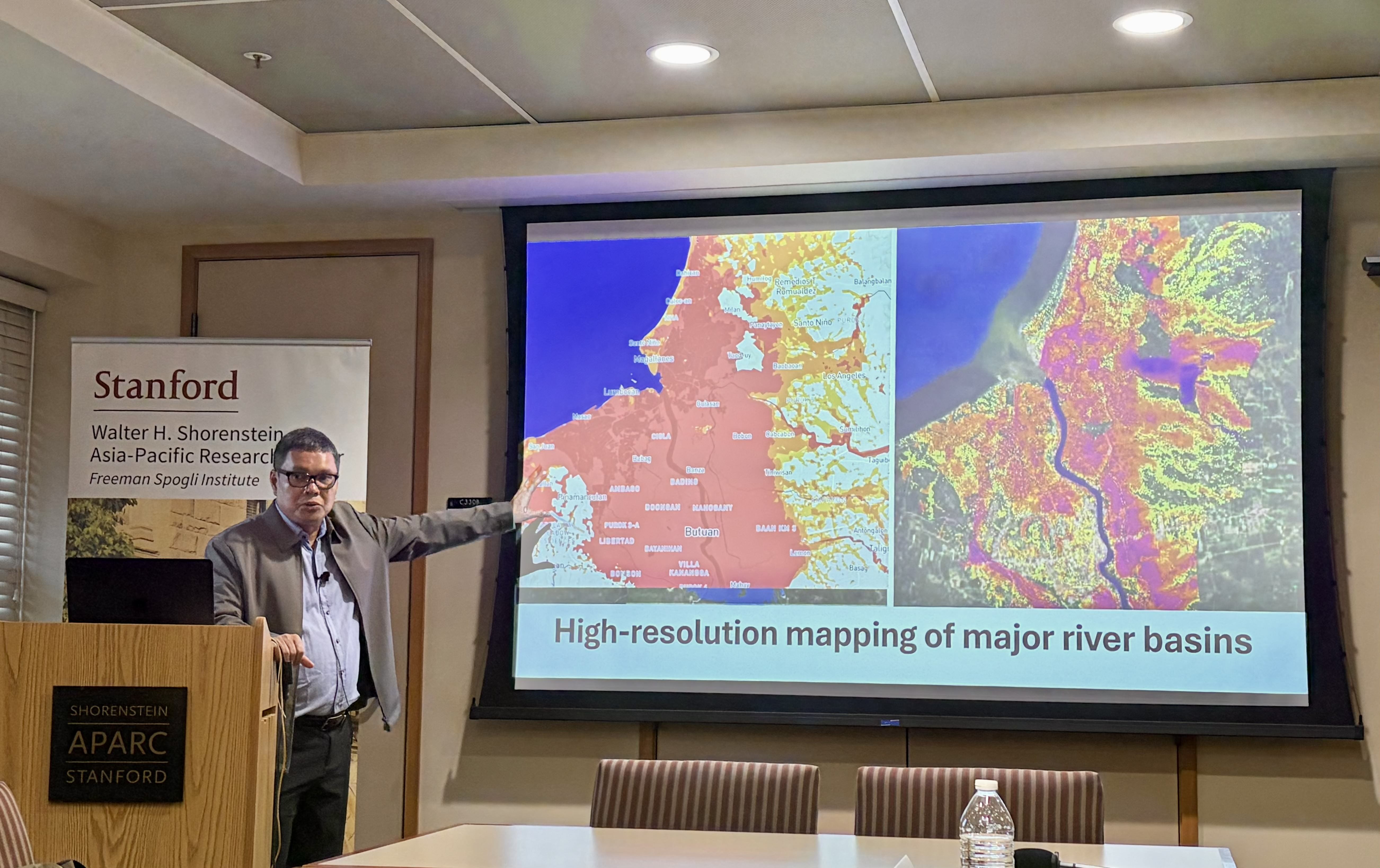
Alfredo Mahar Francisco A. Lagmay, a Filipino scientist and scholar at the University of the Philippines (UP), spoke about how flood maps, real-time hazard monitoring and government implementation can lower death tolls during natural disasters in the Philippines during a Tuesday talk.
The event was held in the Philippines Conference Room in Encina Hall. Lagmay is a recipient of the European Geosciences Union Plinius Medal.
The 2026 World Risk Report ranks the Philippines as the most disaster-prone country in the world, due to its geographical location on the Ring of Fire. The Philippines is struck by an average of 20 tropical cyclones a year. Lagmay also listed floods, earthquakes, landslides and tsunamis as common natural disasters that the country faces.
“For a very long time, we have been struggling to improve the efforts that we do with respect to disaster risk reduction against natural hazard impacts,” Lagmay said. “It has been something that has been hampering the development of our country.”
During these natural disasters, institutions such as the World Bank deliver monetary grants to assist the Philippines in rebuilding. Lagmay, however, hopes to focus on how the Philippines can do more to mitigate such catastrophic impacts before they even happen.
Lagmay’s experience in disaster risk reduction comes from being the leader of Philippines’ primary disaster mitigation program, Project NOAH (Nationwide Operational Assessment of Hazards). He was appointed when the program launched, after Typhoon Washi (Sendong) in 2011 caused over 1,200 deaths and millions of dollars in damages.
With the help of the UK Environmental Agency, Lagmay and his team learned to use LiDAR (Light Detection and Ranging) and drones to map the environment and mark flood-prone areas. They then developed an app to make flood hazards, storm surges and landslide alerts more accessible to the public.
“We tried to convert the information from Doppler radar and deployed them in the mobile app and the website to empower the Philippine people,” Lagmay said. “The information and data that people need should be readily available any time, anywhere.”
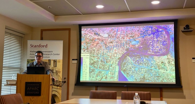
Lagmay presents a map of potential flood depth (Photo: ALANA BELLE M. TIRADO/The Stanford Daily).
Lagmay said that with the help of Project NOAH and the app, the death toll from floods throughout the Philippines significantly decreased. For example, during Typhoon Pablo (Bopha), the city of Cagayan de Oro saw zero casualties. Lagmay blamed the use of outdated, historical maps — leading to poor site selection of evacuation centers — for higher death tolls during previous flooding events.
Another of the team’s achievements has been revealing corruption. Lagmay said that in 2015, 42 billion Philippine pesos (PHP) was budgeted for flood control. By 2024, this number had climbed to over 244 billion PHP. Despite the enormous budgets, severe rains and typhoons flooded the Philippines throughout 2025, leading to audits and an eventual exposure of corruption by Philippine contractors, legislators and politicians who would create “ghost” flood control projects and pocket the money.
“[The budget] kept on climbing probably because of greed,” Lagmay said. “Those corrupt officials probably said, ‘Ah, nobody is seeing! We can add more, and there’s a good excuse; it’s called climate change.’”
Lagmay found one of these ghost projects using Project NOAH’s mapping software, pointing out a location of a dike ‘project’ with no community nearby to protect.
“It was easy to determine which projects were just bogus projects and which projects were going to be useful for the community,” he said.
Looking forward, Lagmay plans to improve the quality of the team’s maps. “We can continue our work, we can produce more maps and we can promote transparency,” he said.
Lagmay also wants to make his software accessible to the public, and included animations and music to make the information more appealing.
“We believe that science, if it is not engaged by the people, is meaningless,” Lagmay said. “We try to make the information more interesting so that we can build a culture of resilience and a culture of safety. The more that people enjoy learning about disasters, the more that they become aware. That awareness is the first step towards disaster preparedness.”
Event organizers Rapha Felipe M.S. ’27 and Gregor Posadas, a first-year Ph.D. student in environmental engineering at UC Berkeley, said they were inspired to organize the talk by the Philippines’ response to natural disasters amid the climate crisis.
“We all got together and decided that we wanted to make an event to highlight flooding in the Philippines, and what we’re doing institutionally to solve these problems that are brought by climate change,” Posadas said.
Many event attendees were Filipino students, engineering students or both. Euclid Soringa ’25, M.S. ’28, who hails from Surigao City in the Philippines, described Lagmay’s talk as “enlightening.” Soringa recalled when Typhoon Rai (Odette) hit the Philippines in 2021.
“I was here at Stanford while the rest of my family were impacted,” Soringa said. “It was such a crazy typhoon because it leveled everything to the ground… I couldn’t contact my family for days.”
As a master’s student in aeronautics and astronautics, Soringa hopes to pursue LiDAR projects related to disaster resiliency, and even approached Lagmay after the event to volunteer his services.
“I wish that more and more people could hear about this,” Soringa said. “To live in a sustainable world, we have to work together.”